Maps

Maps

The "Remembrance foothpaths" include various routes that connect Tesero, Stava and the mining area on Mount Prestavèl. The following image shows the route “Dove Stava una valle” from Tesero to Stava in yellow. It is possible to return to Tesero along the "Via dei planeti" (in white) which leads to the Fiemme Observatory and, continuing along the paved road, to the sports field thus closing a ring for a total of about 8 km. The "Sentiero Stava 1985", in green, instead leads from the town of Stava to reach the places of mining activity. "Dove Stava una valle" pathway -

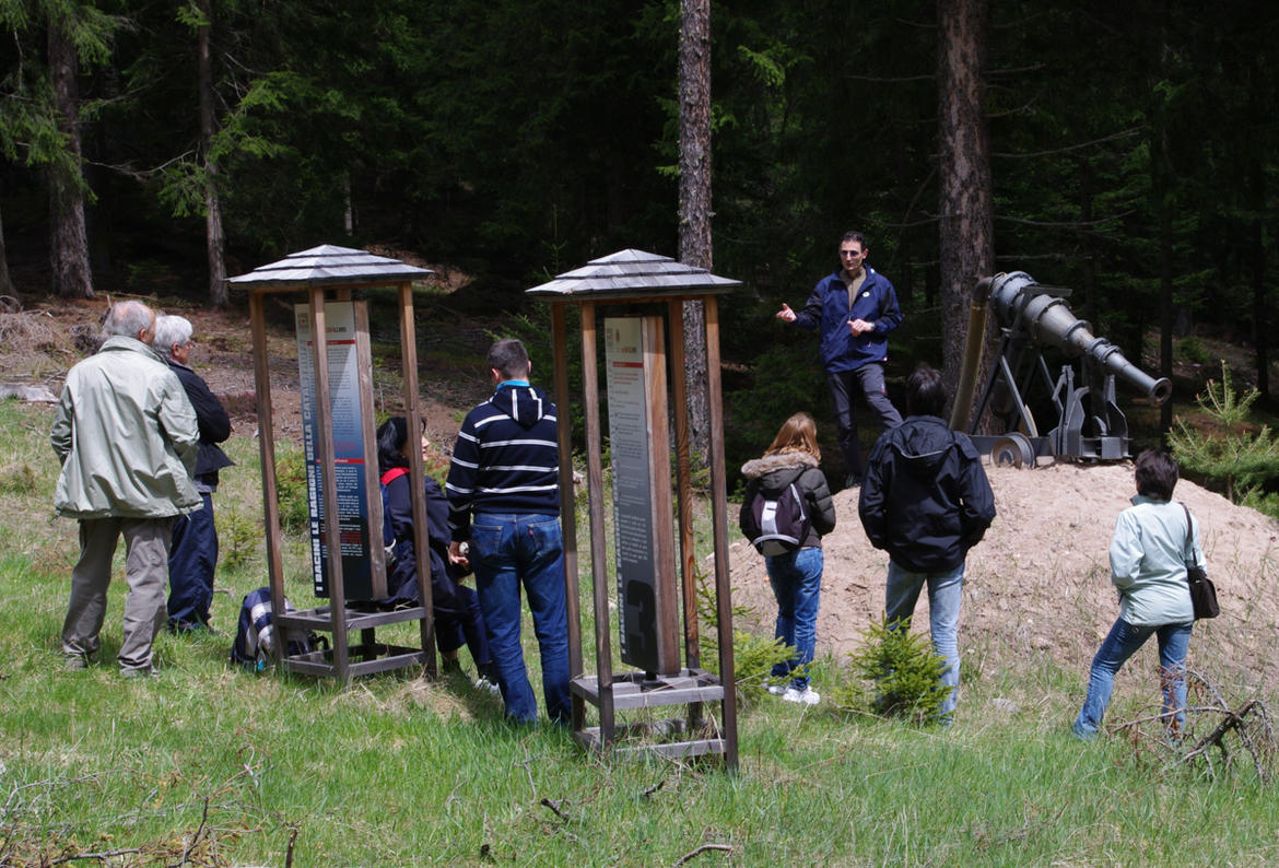
Visita guidata sul Sentiero della Memoria

The Stava 1985 footpath on Mount Prestavèl

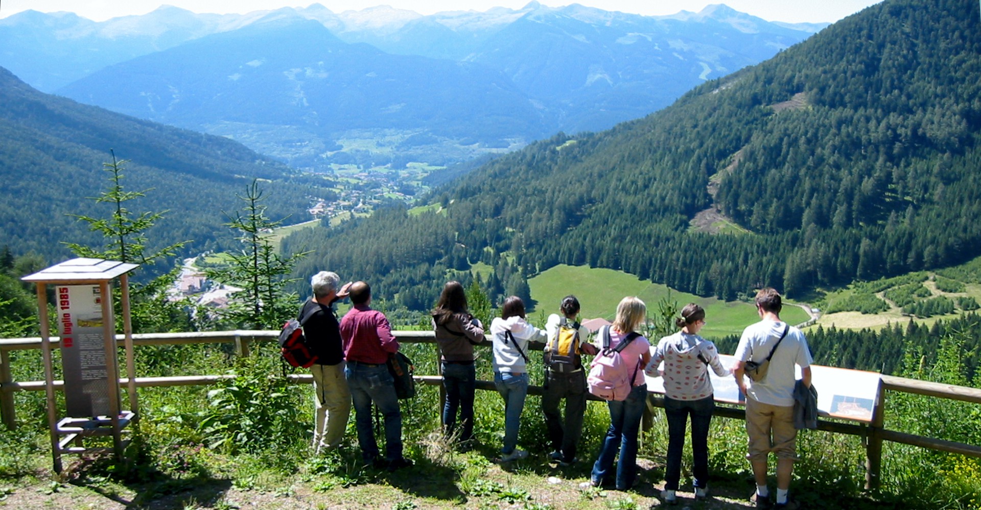
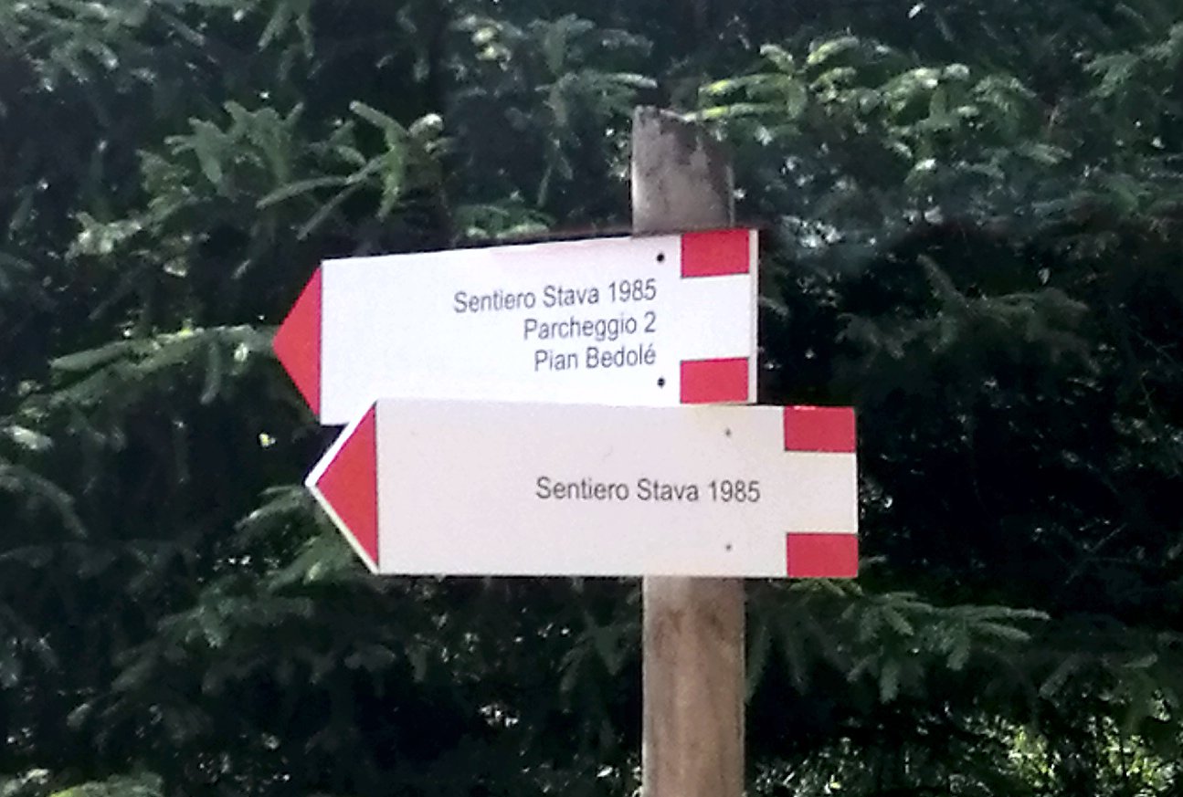
Starting from the Stava 1985 Information Centre in Stava, the Footpath leads to the areas where mining activities were carried out. It can be followed with the help of the “The Discovery Mountain” guidebook in English, Italian and German, which can be purchased at the APT tourist offices of the Fiemme Valley, the Stava 1985 Information Centre and the Stradivari Bar at Stava. The Footpath has been equipped with explanatory panels set along its course. The same texts in English are found in “The Discovery Mountain” guidebook. The Footpath winds through forested areas, allowing the discovery of nature in the

Il punto panoramico a quota 1500 m. sul Sentiero Stava 1985

The remembrance footpath “Stava 1985”

The sites of the stava catastrophe Mount Prestavèl and the Val di Stava were the scene of mining activity and housed the tailing dams for the sludge left over from mining which collapsed on 19 July 1985. Stava, where the Stava 1985 Center is located, can be reached by private vehicle or by public bus, being along the road that leads from Tesero to Pampeago. It can also be reached, with an easy walk or by mountain bike, starting in Tesero from the medieval bridge over the Stava river and following the course of the stream for about 3 kilometers

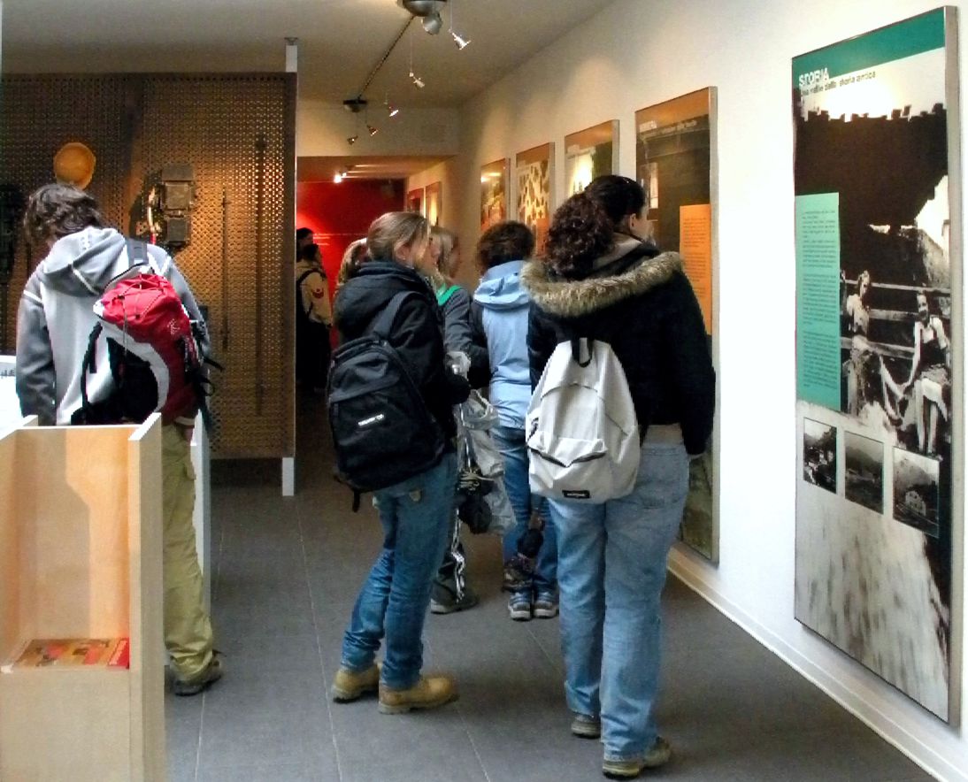
Il percorso didattico nel Centro Stava 1985

The educational pathway

Inside the Information Centre, one can follow the pathway illustrating the history of the Prestavèl mine and the mineral enrichment facility, the construction and building up of the tailings dams from the early ‘60s up to their catastrophic collapse on 19th July 1985. Furthermore, the causes and legal responsibility for the collapse, the subsequent reconstruction in the Stava Valley and the factors in common with the disasters of Vaiont and Cermis are explained. A special display case contains a number of objects related to the mining activities carried out at the Prestavèl mine. In addition, the plans of the mine

The films

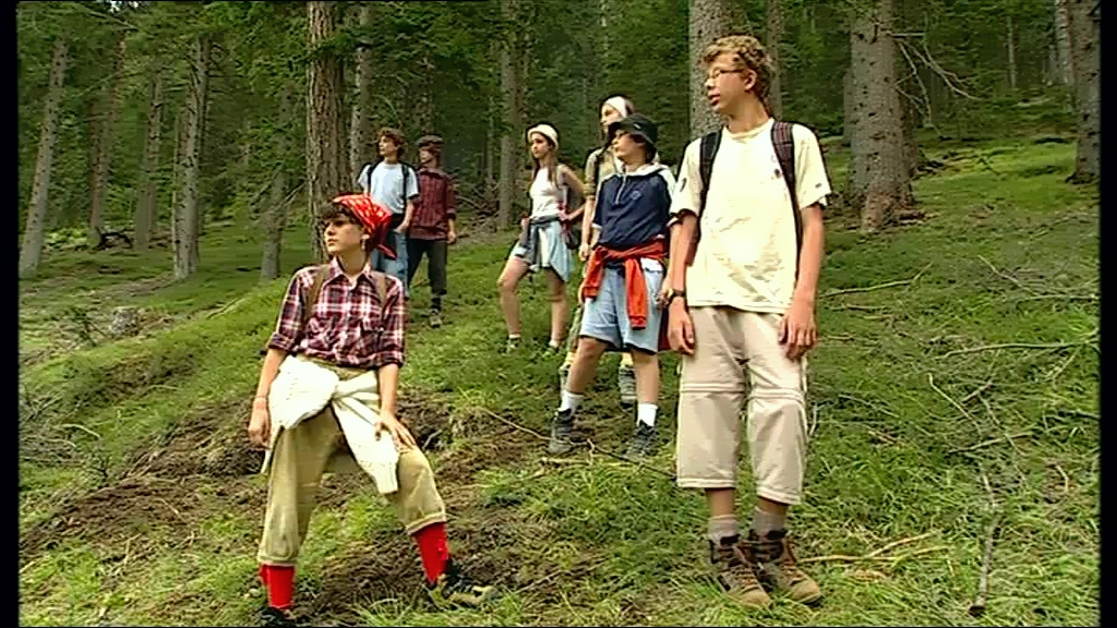
Stava 19th July The short fictional documentary entitled “Stava 19th July” tells the story of the Prestavèl fluorite mine from the early 1960s up to the disaster on 19th July 1985. It makes use of highly sophisticated shooting techniques and special effects to reconstruct the various phases of the mining activities, the process of mineral enrichment and the building of the mineral waste facility from the early 1960s up to their catastrophic failure. The film was produced thanks to funds from the Autonomous Province of Trento and the Municipality of Tesero, with the sponsorship of the Italian National Research Council/Group

Il Centro Stava 1985

Opening hours and information

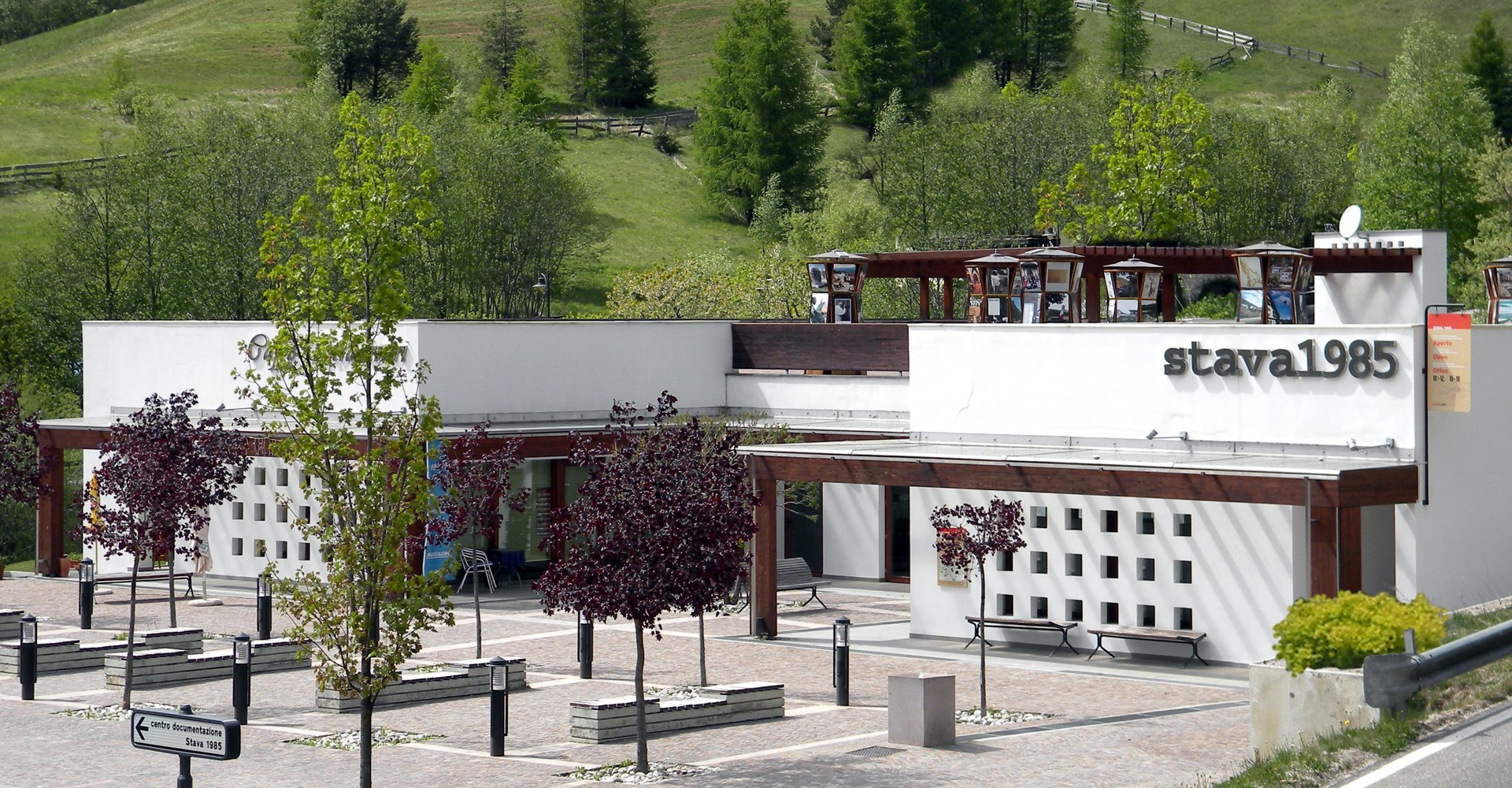
The Stava 1985 Information Centre, which is indicated by dedicated signposts, is located at Stava, in Sgorigrad square, Municipality of Tesero, uphill of the Stava hotels, along the road leading to Pampeago. In front of the Centre, there is a large parking place for cars and buses. 9th - 27th - 28th - 29th December 2023 from 3.00 to 6.00 p.m.3rd - 4th - 5th January 2024 from 3.00 to 6.00 p.m.By appointment outside the opening hour For information and booking visits E-mail: info@stava1985.it Phone: (+39)347 10 49 557 Exhibition Brochure Guestbook The building where the Centre is located (property